
As I sit here Saturday morning to report on the trip up Long's Peak on Wednesday, I learned that the mountain claimed a climber on Friday, when he fell 800' from a ledge. Along with the climber that was blown off the top in June, this makes two that I know of this year, along with at least one climber being struck by lightening.
In chronicling my trip up I videoed a number of the different areas. Because the start was at 2:30am and I was using my little Cybershot point and shoot camera the first few videos are pretty dark. All of the embedded hyperlinks are to the videos which are loaded on Picasa.
Speaking of dark, we planned this trip for a full moon to have more ambient light. In fact Phoenix really reveled in it, but after almost twisting my knee I decided that the chance of a injury out weighted the coolness factor of hiking in the moonlight, so on went the headlamp. The headlamp worked really well. I bought it at Harbor Freight for a whole $4.99. This may have to be added to the HF Gems list.
Knowing that we needed to get out early, since we anticipated a 14 hour trip, we slept in the campground in out cars on Tuesday night. I woke up at 1:45am and the operation moved over to the trail head, I want to say so as not to bother the other campers, but really because the toilets were closer over there.
 The Trail Head.
The trail had an incredible amount of horse crap on it, making watching your step import, beyond even the possible twisted limb. It took quite awhile to work out of the trees, and we were passed by several groups.
In the Trees, as we got closer to treeline the trees were fairly stunted, testifying to the amount of wind that can be present on Long's. The forecast was for 5-10mph and decreasing, so we weren't really anticipating the wind being a factor in the climb.
Once out of the trees the lights of the Front Range came into view. You can be so isolated on these treks, yet when you see the lights it brings up the paradox of the thousands of people not really that far away.
As I moved higher out of the trees the headlamps of the people ahead of me could be seen weaving their way up to Granite Pass. The wind also started to come up and blocks some of the things I am saying.
After three hours the sky started to lighten, but the head lamp was still needed. It also was the about this time that I stopped waiting for Phoenix and decided that I would move on alone. I thought about this decision more after I made it, then when I made it. I figured that I felt good and at this point had waited a couple of time. Phoenix had said he was going to move slowly to savor the experience and stop to take pictures. I figured that I would have just so many hours of reasonable activity in me and I was concerned that I would use them up in waiting, leading to a collapse either before summitting or on the way down. I also rationalized that there were a number of people on the trail to provide support, if needed. I don't know if this was right or selfish, but it is what I did.
About this time the sunrise finally got into full swing and I could start to see the terrain around me.
As I climbed through Granite Pass, Long's came into view and the timing was perfect to see it bathed in alpenglow. This was my first really good view of the mountain and the Diamond big wall on its east face.
This was also the beginning of the Boulder Field, that featured prominently in most of the route and trip narratives I had read. I have to say that it lulled me in, in that it didn't seem so bad at this point.
About half way through I came to the campground for the folks that come up the evening before to shorten the trip a little. Speaking of the trip length I figured on 14 miles according to the route guide, but Google had it at 14.5 miles and after adding up the mileage on the trail signs I had it at 15. This may seem trivial, but after hours on the trail, I becomes very important.
At this point the Boulder Field got pretty serious. The trail had competing cairns on it, so as I watched different group moving through it, it kinda became everyone for themselves. I followed a group that seemed to have confidence in the cairns they had targeted...until about halfway through when their creditability came into question and I set off on my own. Seemed to work out OK until topping the field and trying to figure out the climb into the Keyhole, the transition to the backside (I wonder if a mountain has a backside) of Longs and the next stage called the Ledges. At this point I thought it would have been nice to be following someone to see how they got into the Keyhole.
I was feeling pretty good and according to the route guide at 14er.com it was less then a mile to the summit. The challenge of the Ledges brought me back to reality as the trail was narrow, hard to identify and had pretty serious exposure. At one point, I was reaching around a badly placed boulder to continue on. I started to realize that the step from a Difficulty 1 hike/climb, to a 3 was pretty serious, and although this was not considered a technical climb it wasn't for those with little to no experience, even though I would overtake a group from Ohio that had chosen Longs as their first 14er.
I thought I was prepared for the next section which in my mind represented the crux of the entire climb...The Trough. Phoenix had warned me that it was a straight up climb for about 600 feet, but the sliding scree with each step really brought it home. Looking up the Trough at the climbers already up it set a scale to this place that was pretty overwhelming. As I looked at a couple of the boulders pretty much teetering on rim along the top, the term "act of god", came to mind as a possibility.
Up until now this was the hardest part of the climb for me and it seemed to go on forever, then on reaching what I thought would be an easy exit from the Trough to the Narrows, I realized that there was no clear exit and I had to climb to an extent that I was grabbing cracks in the rock and pulling my 190#s up and over the upper rim. My thought during this was how the hell would I get down and back into this gauntlet on the way back. I was so happy to reach the end and the entrance to the Narrows . This traverse across a rock face to the Homestretch was pretty intimidating, even more so then the Ledge and it was hard to see the path once across.
I just wanted to get through the Homestretch and on top. The surprise of the Homestretch was unexpected in that I figured it would be a walk up some cracks in a rock incline to the summit. It was more of a crawl using the cracks for handholds to another 10-15 foot climb at the top onto the summit. A miss here and you would be sliding a pretty long way. Which again brought up the question of how to transition back on to this stretch from the top when returning.
 The Summit was pretty enormous, with about a dozen folks already there. The conditions were prefect, no wind, severe clear sky, all in all a good place to recoop a little before getting back on to the task of getting down.
I arrived here at 9:30, 7 hours after leaving the trail head. It normally takes me about as much time going down as, coming up. So I figured on a 14 hour round trip.
This picture is looking to the northwest.
I stayed on top for about 1/2 hour waiting to see if Phoenix would arrive, but at 10am I started down figuring I had 7 hard hours ahead of me.
The beginning being getting back down on to the Homestretch. I waited a few minutes to watch a couple that looked experienced and they slide on their butts most of the way down the stretch. I did the same and at the bottom they called this 5 pointing (hands, feet and butt).
Even though I had been across the Narrows, I didn't go fast back across it, the entrance to the Trough or down the Trough, because now I knew what I was in for and the exposure always looks greater when going down and generally facing away from the slope. On the way up you tend to fall into the terrain, while when going down you tend to fall away from it.
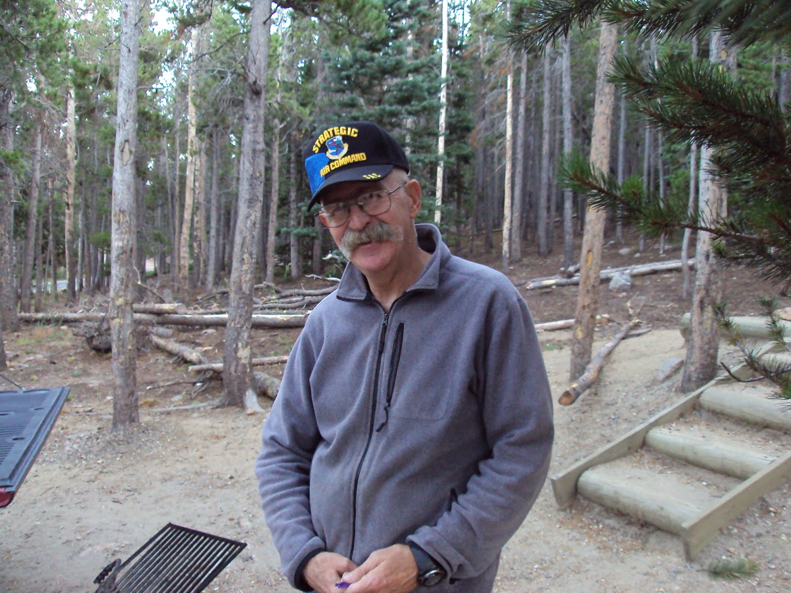
 At the bottom of the Trough I finally ran into Phoenix, where he snapped this pic. He said I looked strong, but I don't know about that.
We talked for a while and he figured he had another 90 minutes before hitting the summit. I figured he was about 2-3 hours behind me at this point.
He continued up and I headed down. I still had misgivings about separating earlier, but he seemed to understand that we were moving at two totally different paces. Hindsight would say that a preliminary hike would have been in order to gauge our pace compatibility. Maybe some radios would have been of use in helping us stay in contact.
I got down through the Keyhole and back to the upper campground about 12:30. At this point my Camelbak had been drained of 3 liters and I refilled it with the only 2 liters of additonal water I was carrying.
The road apples in the trail question was also answered as a Ranger was checking out the camp and had 3 llamas in tow. Sorry horses.
The rest of the way down was long, but uneventful. It took me just under 14 hours.
Phoenix told me the next day that he summitted at 2pm, and reach the trail head at 11:30 that night for a 21 hour trip.
Although in past hikes the group had been separated somewhat by pace, usually in the 5-10 minute range, this separation made feel very guilty. Although it didn't seem to bother Phoenix, as the instigator it bothered me.


